


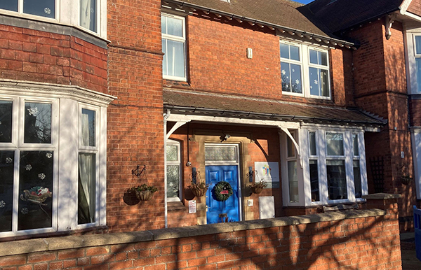

This walk explores one of the lesser known parts of the White Peak. Properties in Elton where the walk starts,...
This walk explores one of the lesser known parts of the White Peak. Properties in Elton where the walk starts,...
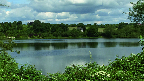
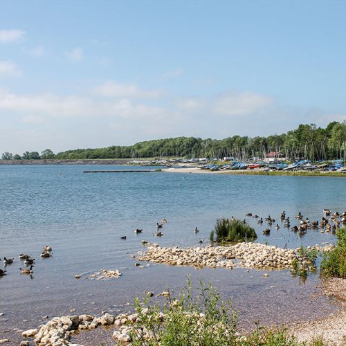
Distance: 10.3 miles of easy road walking, mostly through woodland followed by a gravel track above Howden and Derwent Reservoirs....
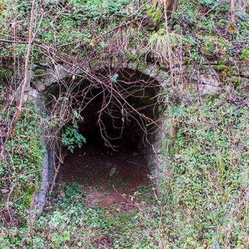
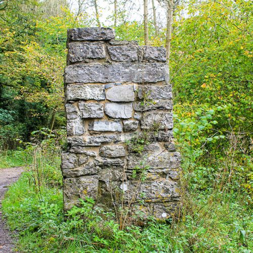
History is everywhere with us in the Peak District. People have lived on and shaped the land for thousands of...
DISTANCE: 3½miles (5.6km) of easy walking along farm lanes and woodland, plus by-roads and side lanes. RECOMMENDED MAP: Ordnance Survey...
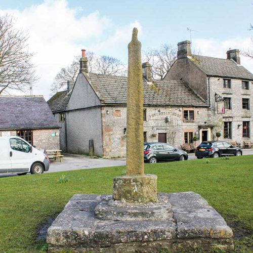
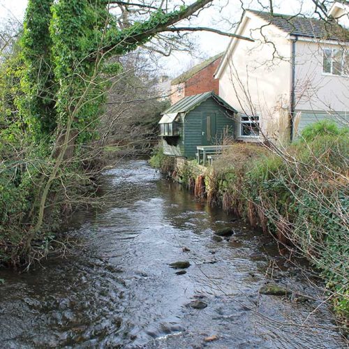
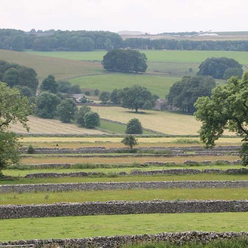
DISTANCE: 5 miles (8km) of field and river path walking linked by a mile of walled farm track. Reasonably dry...

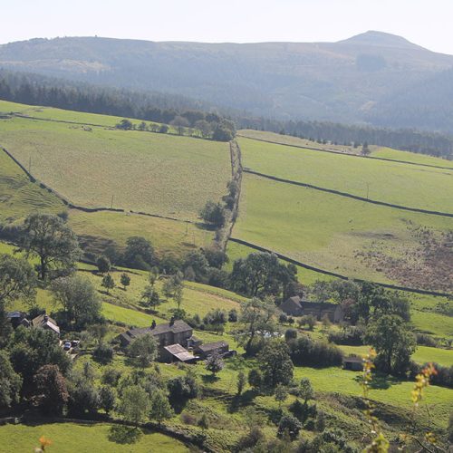
DISTANCE: 3½ miles (5.6km) of moderate forest track, open moorland, surfaced road, waymarked field path and rough access drive. 525...
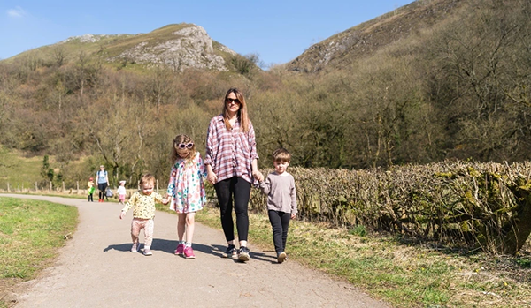
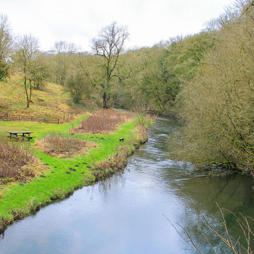
Lathkill Dale is one of my favourite walking areas of the Peak. I don’t know how many times I have...
5 miles (8km) of moderate to strenuous walking on well-defined footpaths and by-roads. 492-foot (150m) descent and ascent. Recommended map:...
5 miles (8km) of minor road and field path walking with one steady 252 foot climb (77m). Moderate. RECOMMENDED MAP:...
4¼miles (6.8km) of moderate walking on field paths and cart tracks; rocky in DeepdaleRECOMMENDED MAP: Ordnance Survey 1:25,000 scale Outdoor...


Derby County are seeking to recruit a part-time Youth Development Phase Coach to join Academy Coaching at Moor Farm Training...

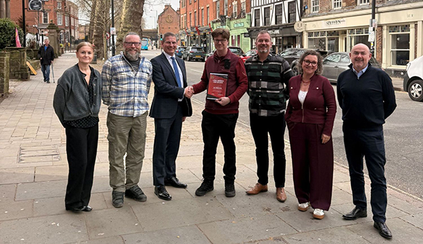
A Derbyshire charity which helps families facing short and uncertain futures to make memories received the King’s Award for Voluntary...

The biggest night of comedy, entertainment, and fundraising is here! Comic Relief: Funny for Money is live on BBC iPlayer...

Following last week’s announcement that the Denby Group has filed a notice of intention to appoint administrators, I have been...

A large number of meretricious post war buildings have been pulled down well before their intended sell-by date, notably system-built...