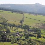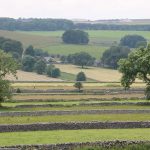
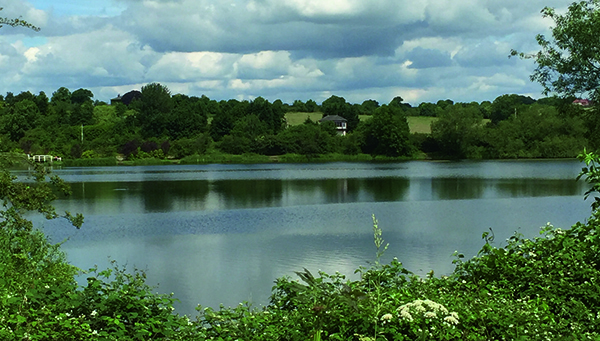


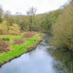
DISTANCE: 5 miles (8km) of field and river path walking linked by a mile of walled farm track. Reasonably dry underfoot except during lengthy wet spells. RECOMMENDED MAP: Ordnance Survey1:25,000 scale Outdoor Leisure Series Sheet 24, White Peak area. PUBLIC TRANSPORT: TM Travel service 65 between Sheffield, Miller’s Dale and Buxton, hourly service, Monday to Sunday. G&J Holmes/Hulley’s Buxton/ Miller’s Dale service 66. Monday to Sunday. CAR PARKING: Station yard – pay and display. Toilets on station platform. REFRESHMENTS: Station waiting room on platform. This walk starts and finishes at the Monsal Trail car park on the site of the old Miller’s Dale Station. Considering the fact that it appears at first glance to be only serving a scattered rural community, what was the need for such a large station? The answer lies in the fact that it served two railways, the mainline from London St Pancras to Manchester and the Buxton branch line. Both lines were closed in 1968 following Doctor Beeching’s notorious report. Realising that the mainline passed through some of the finest dale-scenery in Derbyshire, Peak District National Park acquired the section of track between Bakewell and Wyedale, creating the popular Monsal Trail, an all weathers trail for walkers, cyclists and horse riders. A café was opened in what was once the station waiting room, which together with the adjacent car park, made it an ideal starting point for walks along the trail and on the network of surrounding footpaths. I must have inadvertently travelled on one of the last trains to call at Miller’s Dale Station in 1968. I had an appointment in Leicester on what turned out to be a densely foggy day, so as I lived at the time, conveniently near the Buxton/Manchester line, I decided to travel by train. Returning later in the...