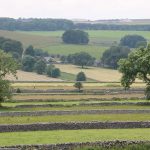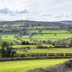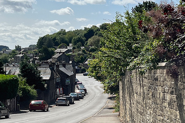

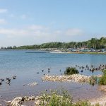
5 miles (8km) of minor road and field path walking with one steady 252 foot climb (77m). Moderate. RECOMMENDED MAP: Ordnance Survey Explorer Map Sheet OL24. 1:25000 scale; the Peak District, White Peak Area. PUBLIC TRANSPORT: Your Bus service between Ashbourne and Matlock calls at Carsington Water Visitor Centre and Carsington village every hour on weekdays and Saturdays. Two hourly service on Sundays and Bank Holiday Mondays. CAR PARKING: Accessed from the B5035 Cromford to Ashbourne road. Sheepwash car park is opposite the farm lane into Carsington village. Alternatively, use Carsington Water Visitor Centre car park if planning a longer walk. REFRESHMENTS: Miners’ Arms in Carsington village and café/restaurant facilities at Carsington Water Visitor Centre’s New Leaf Restaurant. This walk combines popular routes by linking them with a little used path. Here the view across Carsington Water leads on across the north Midlands Plain, almost to Leicestershire. Starting from Sheepwash car park, the way is first through Carsington village to Hopton. This is where the only serious climb in the walk follows a little used path up to the High Peak Trail. The trail is followed, parallel to the moorland road from Wirksworth to Brassington, until the two routes diverge. A sharp left turn at this point leaves the trail, then crosses the road to reach the popular path crossing Carsington Pasture. Its wind turbines now stand where our prehistoric ancestors once farmed, or later inhabitants delved for lead. This path eventually reaches Carsington village and its welcoming pub. At Carsington a decision must be made, either to return to the car, or continue along the reservoir path into the Visitor Centre for a short stroll to Stones Island, and then walking back the same way, or perhaps catching service bus no. 110 Ashbourne to Matlock via Carsington....